Y Area
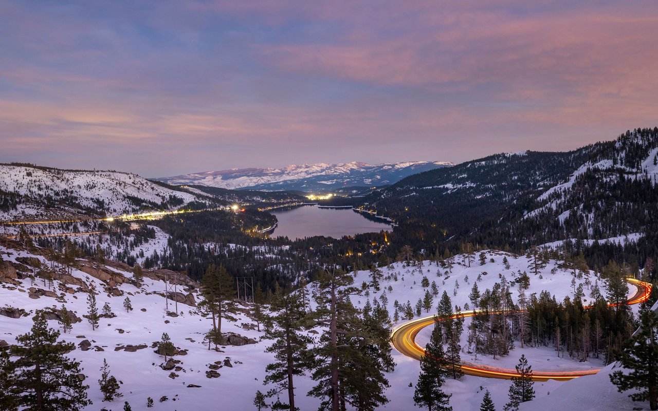
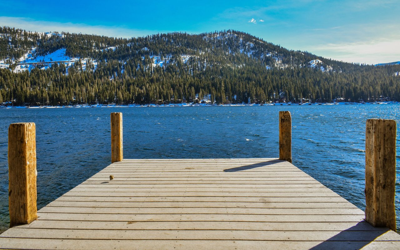
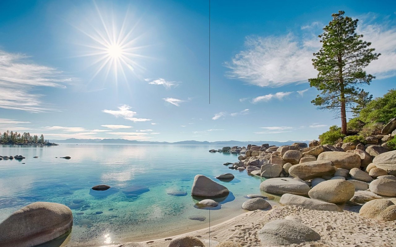
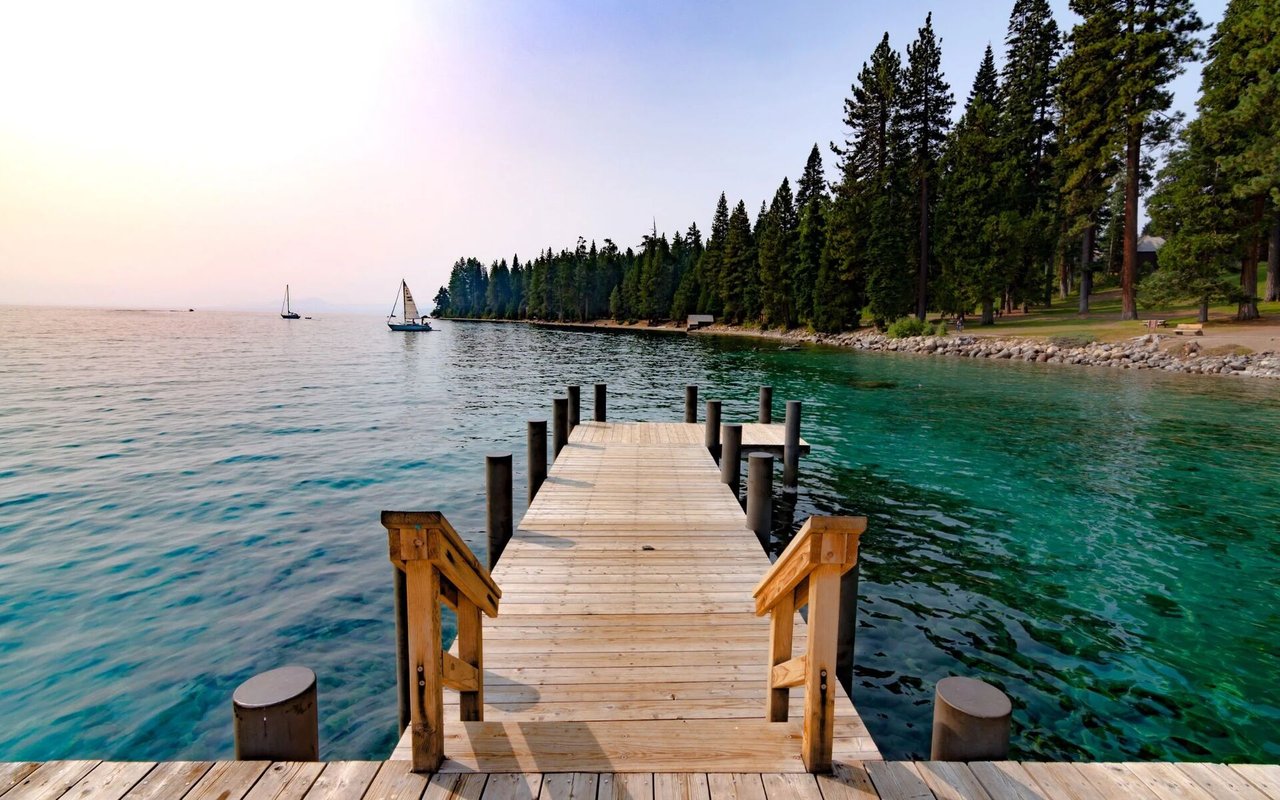
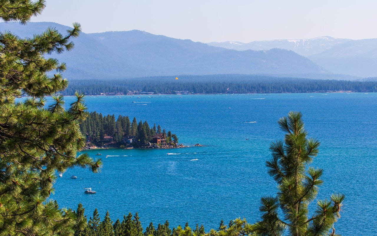
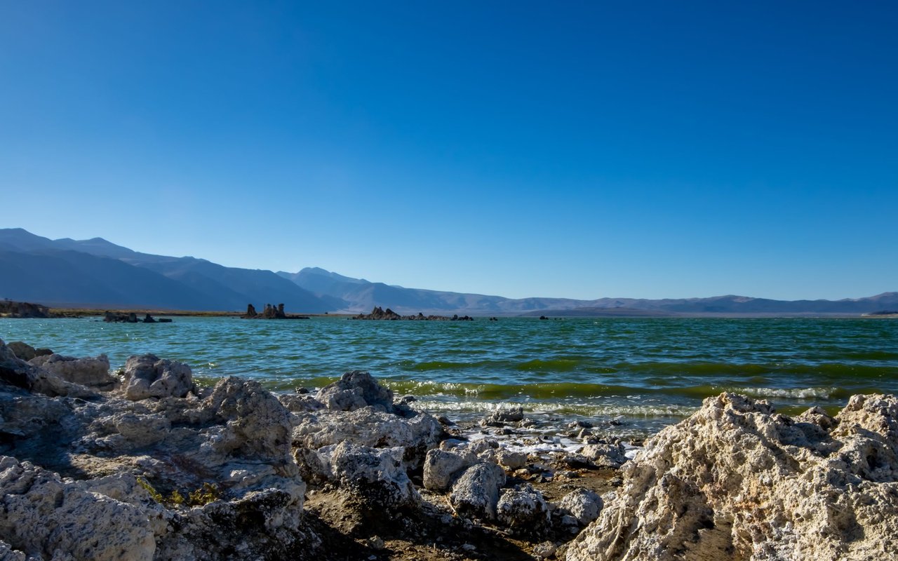
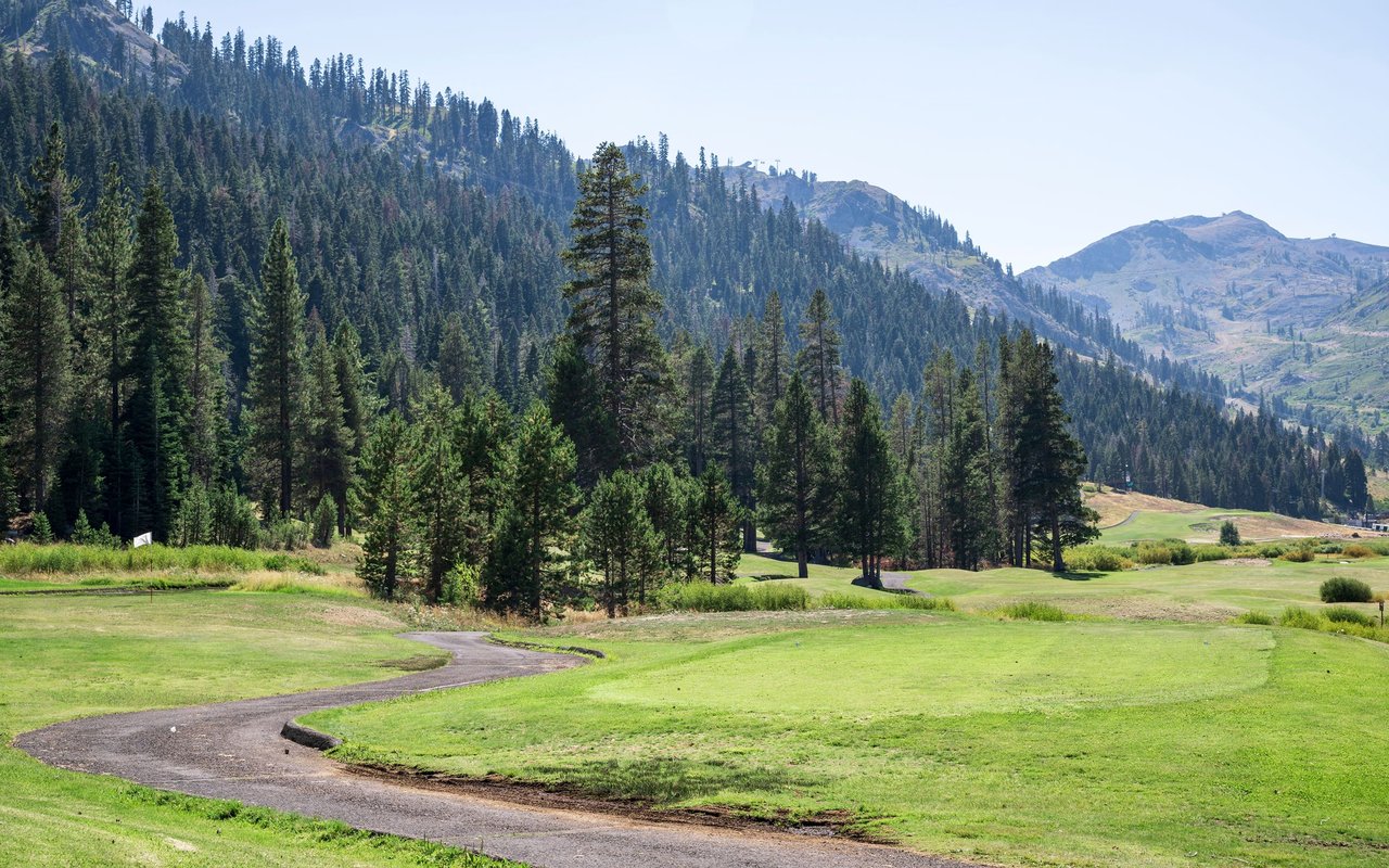
Offering central convenience, diverse homes, and easy access to year-round Lake Tahoe recreation.
Offering central convenience, diverse homes, and easy access to year-round Lake Tahoe recreation.
Known for its central location, diverse housing, and easy access to the best of South Lake Tahoe.
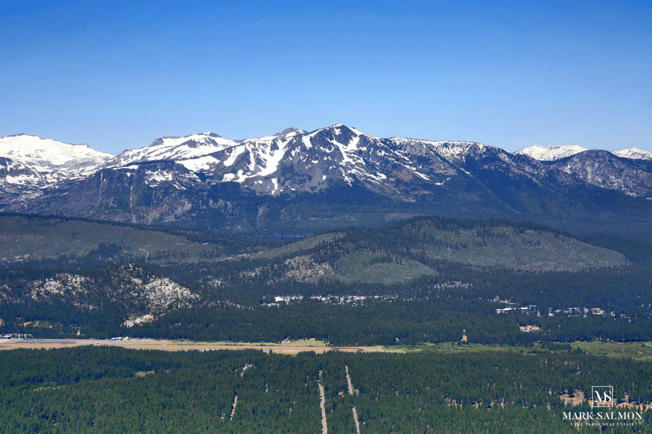
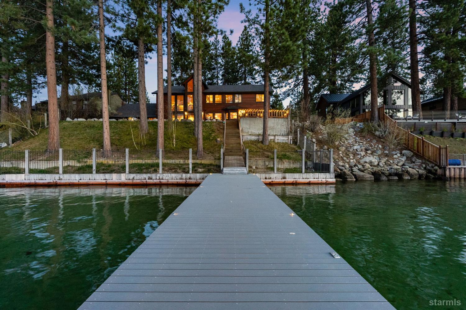
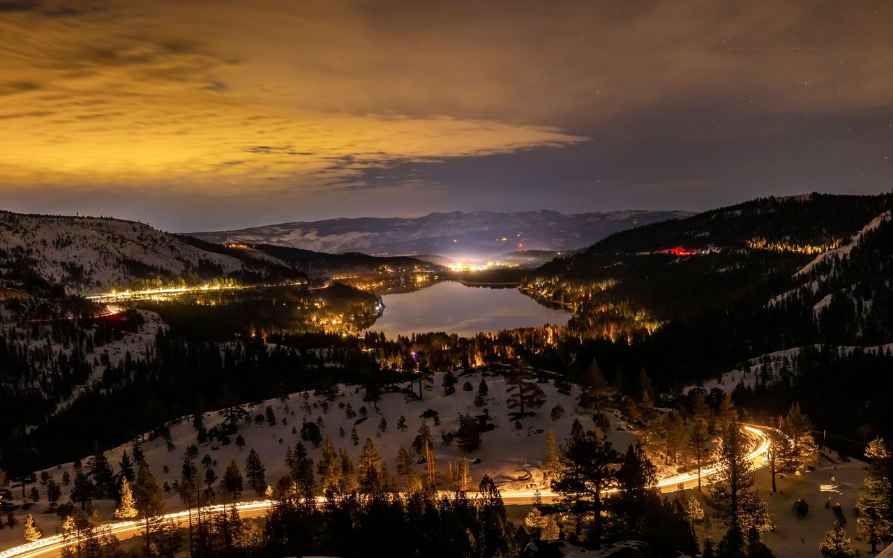
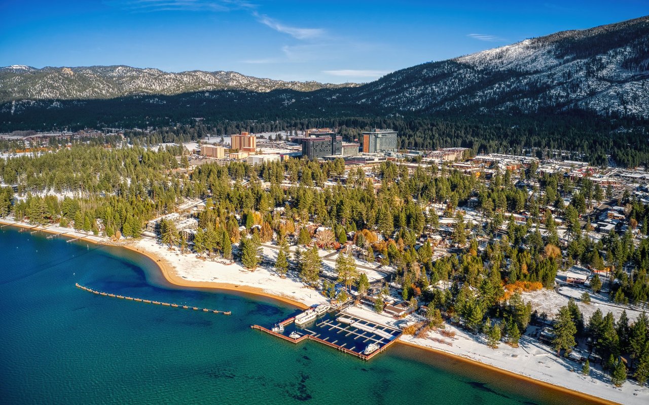
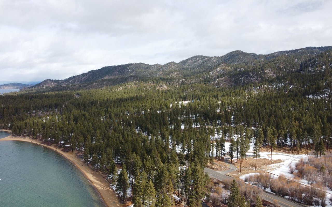
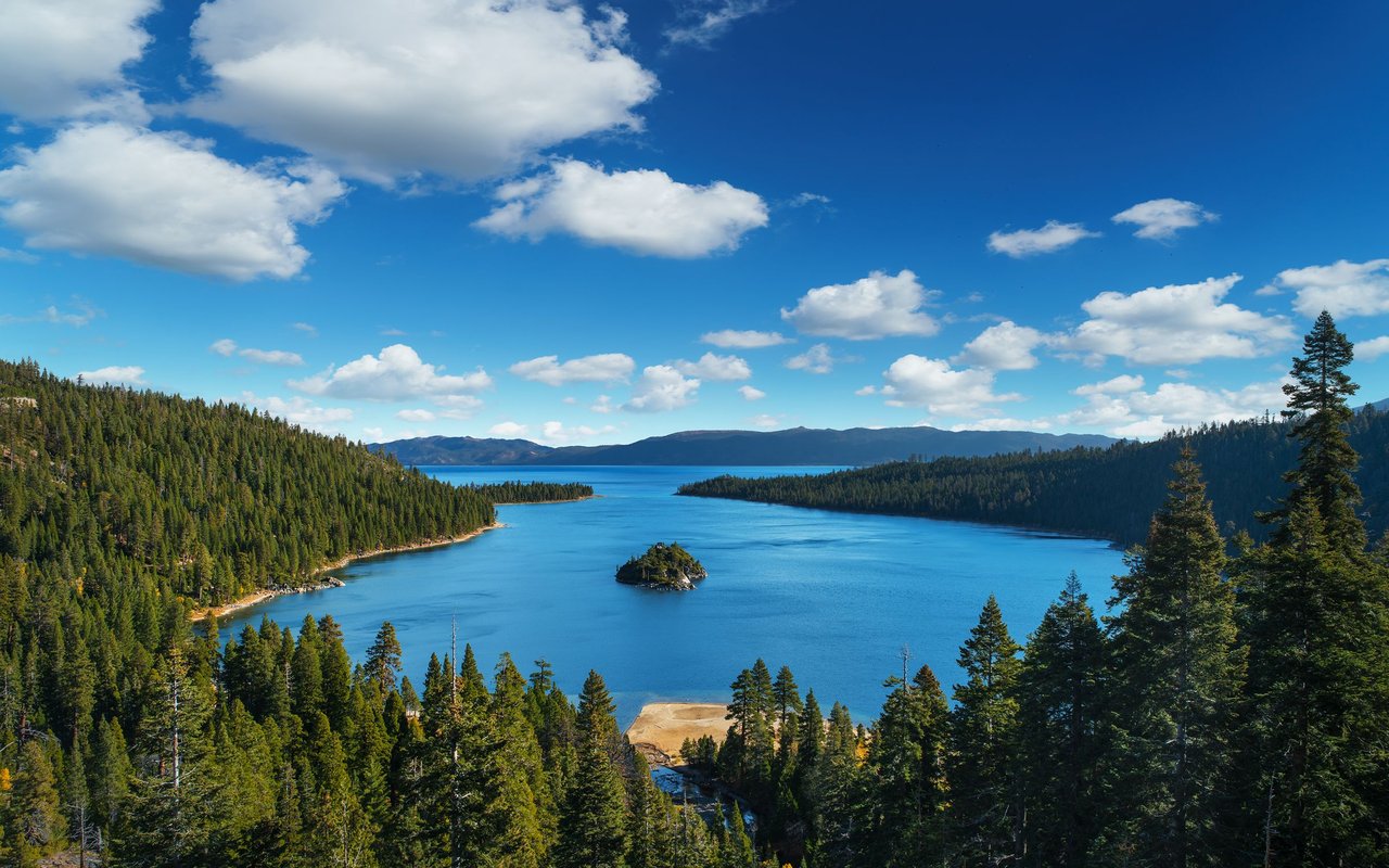
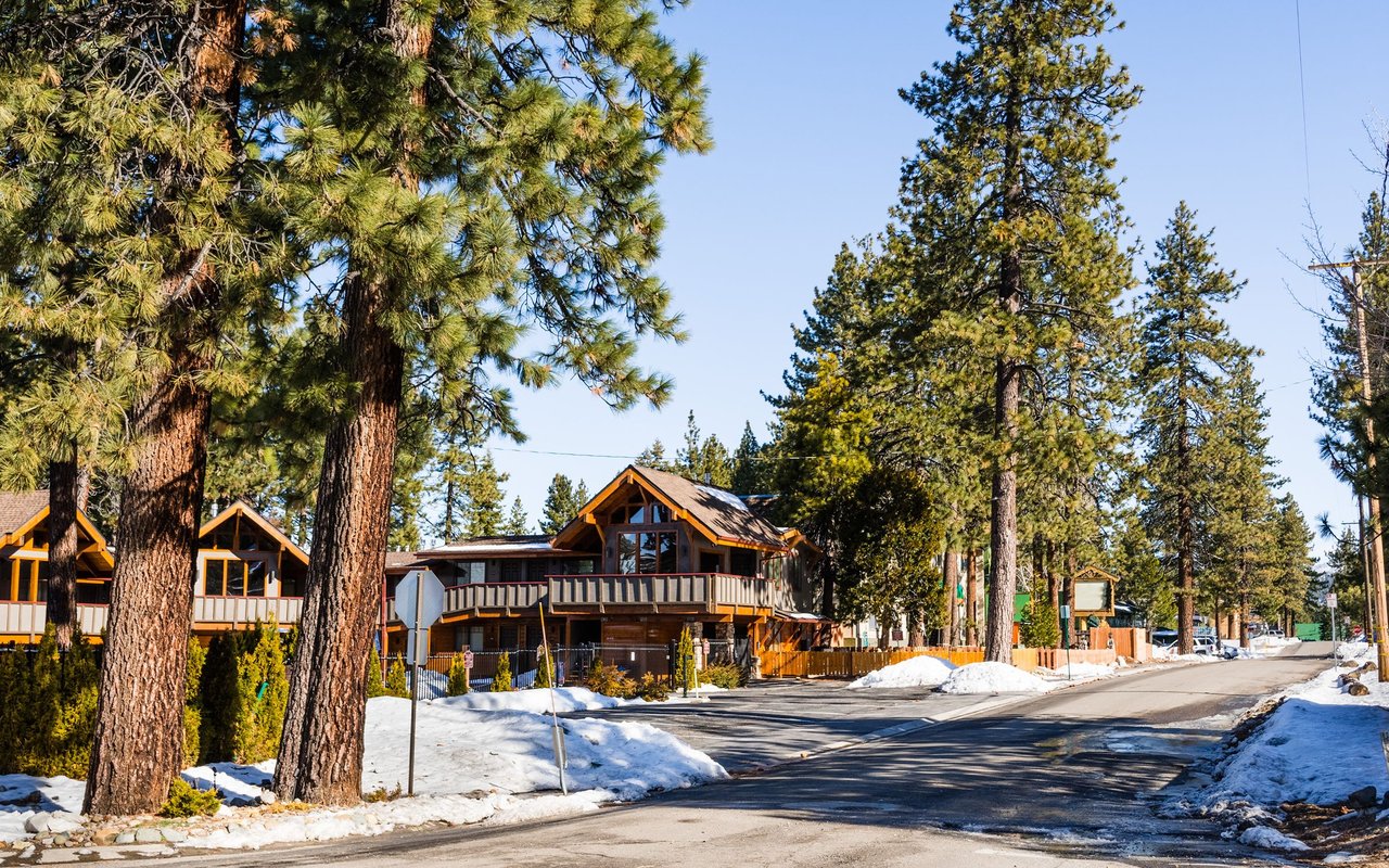
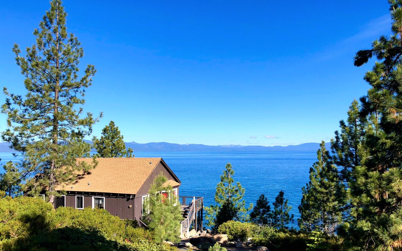
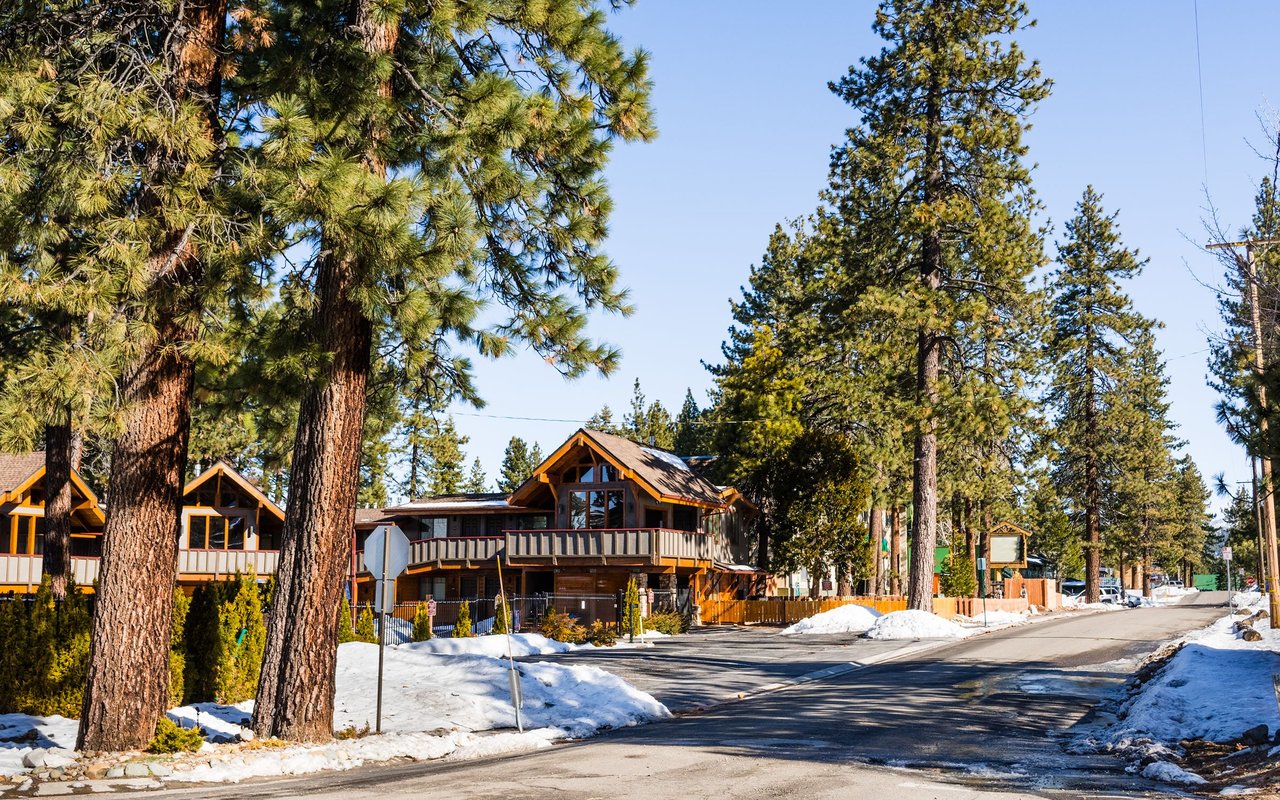
Centered around the intersection of Highway 50 and Highway 89, the Y Area is one of South Lake Tahoe's most convenient and well-connected neighborhoods. Its central location provides easy access to the South Shore, West Shore, and surrounding mountain communities, making it a popular choice for full-time residents, second-home owners, and investors. Quiet residential streets are complemented by nearby shopping, restaurants, healthcare, and everyday services, creating a neighborhood that prioritizes both convenience and livability.
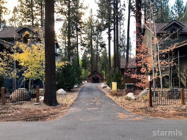
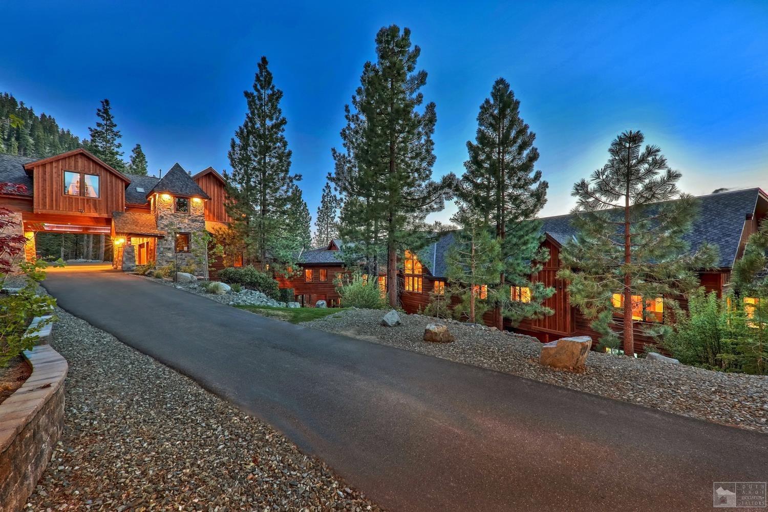
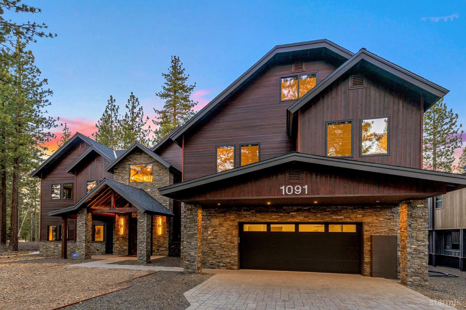
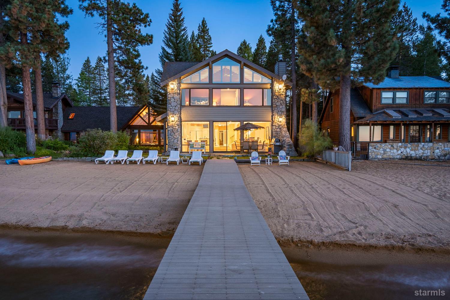
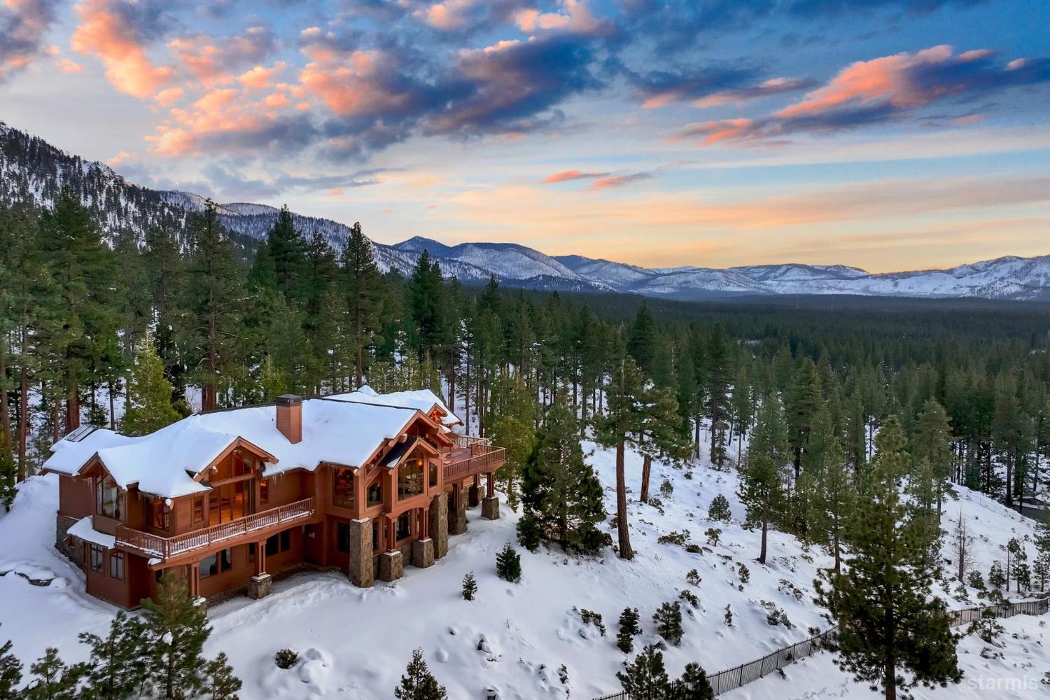
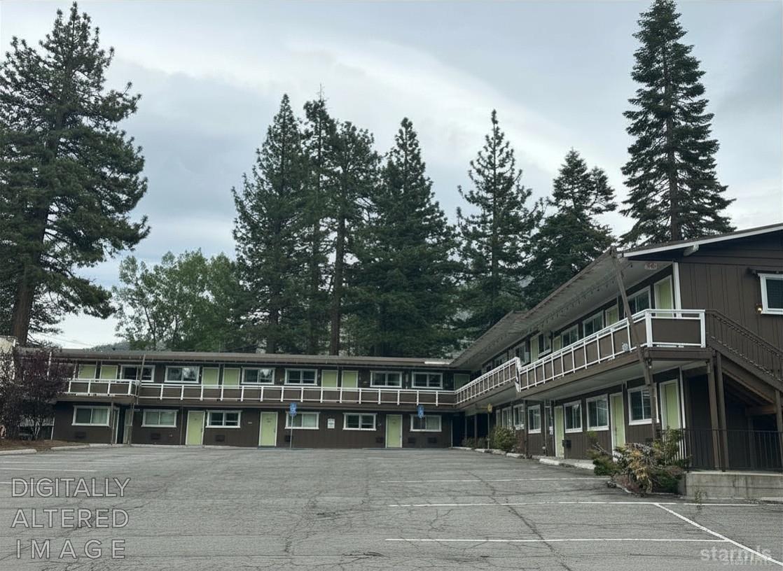
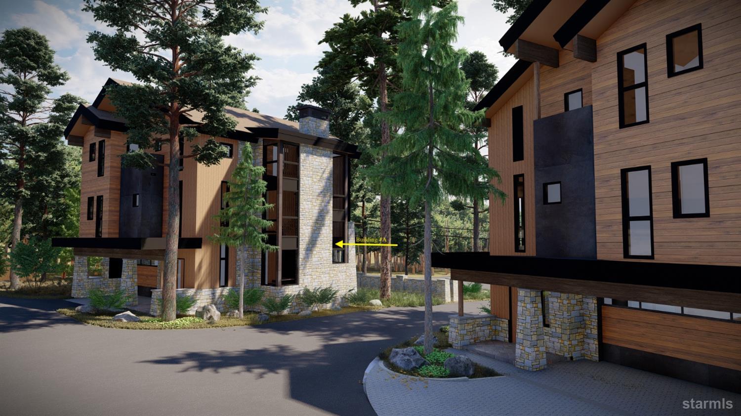
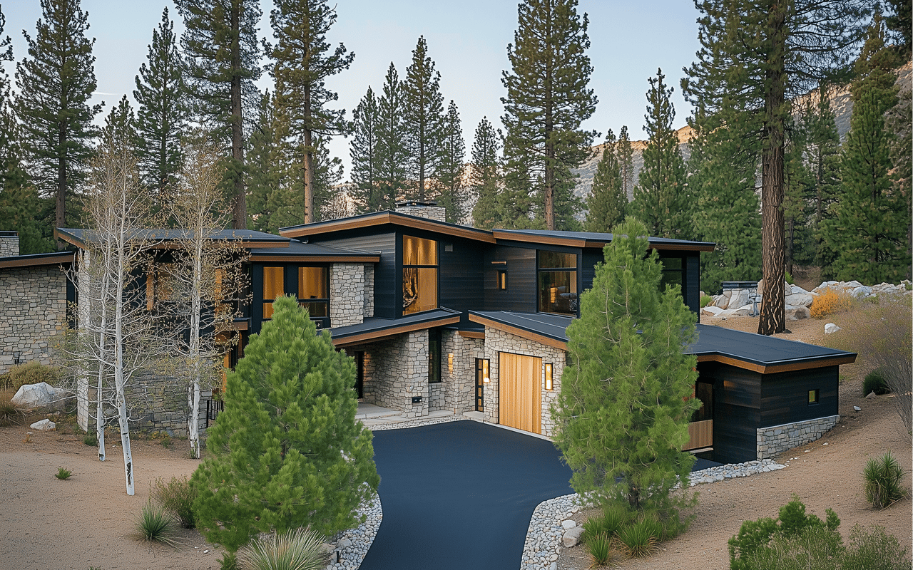
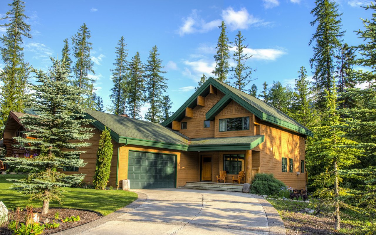
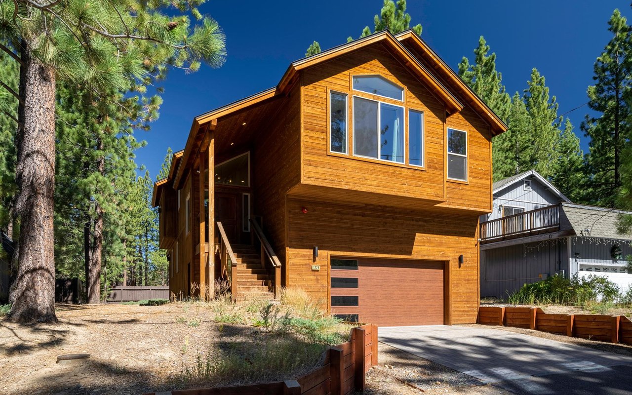
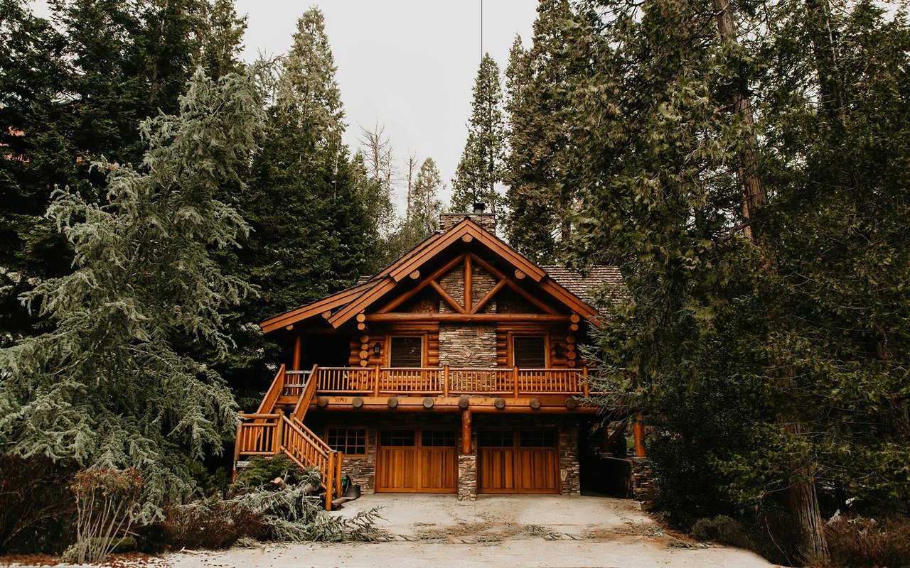
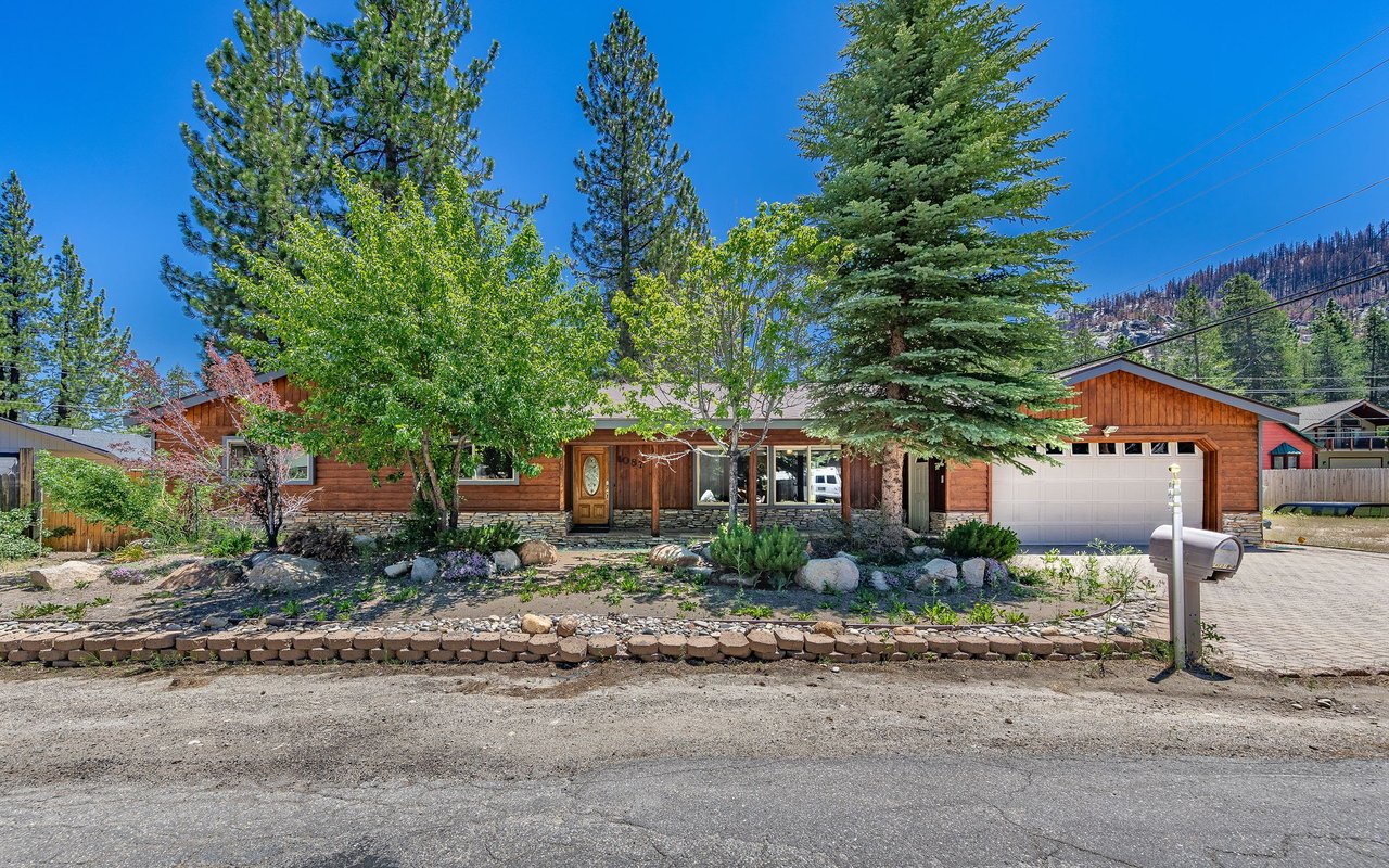
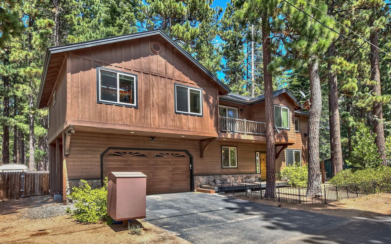
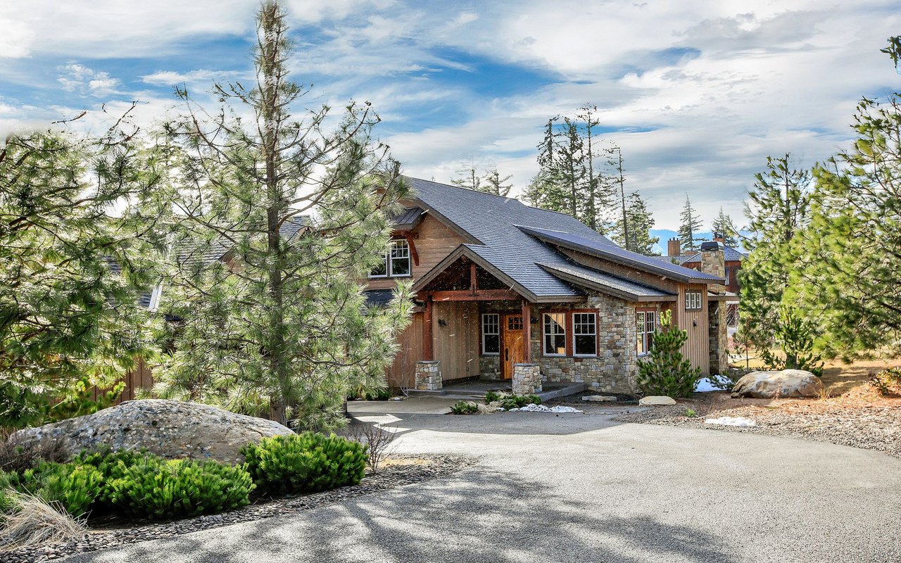
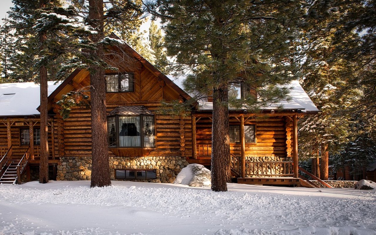
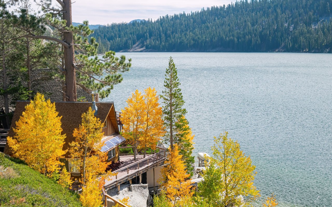
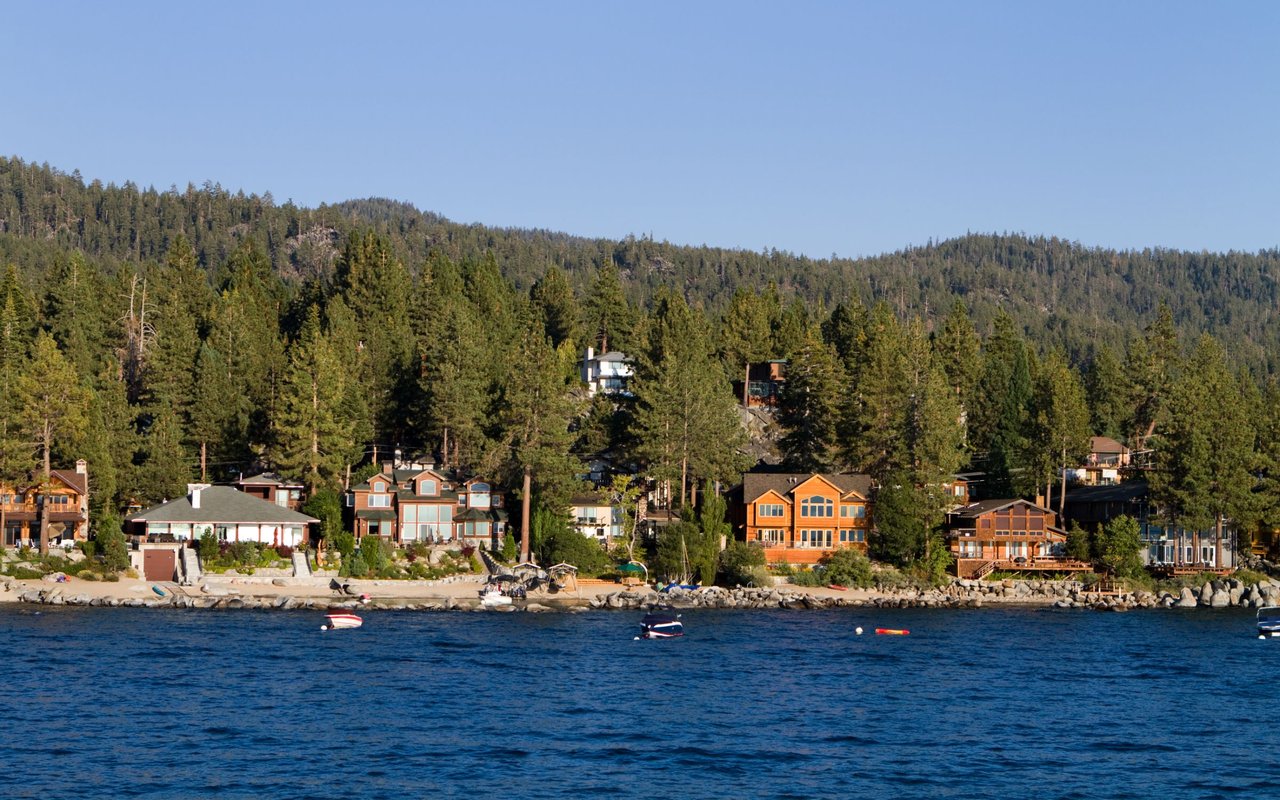
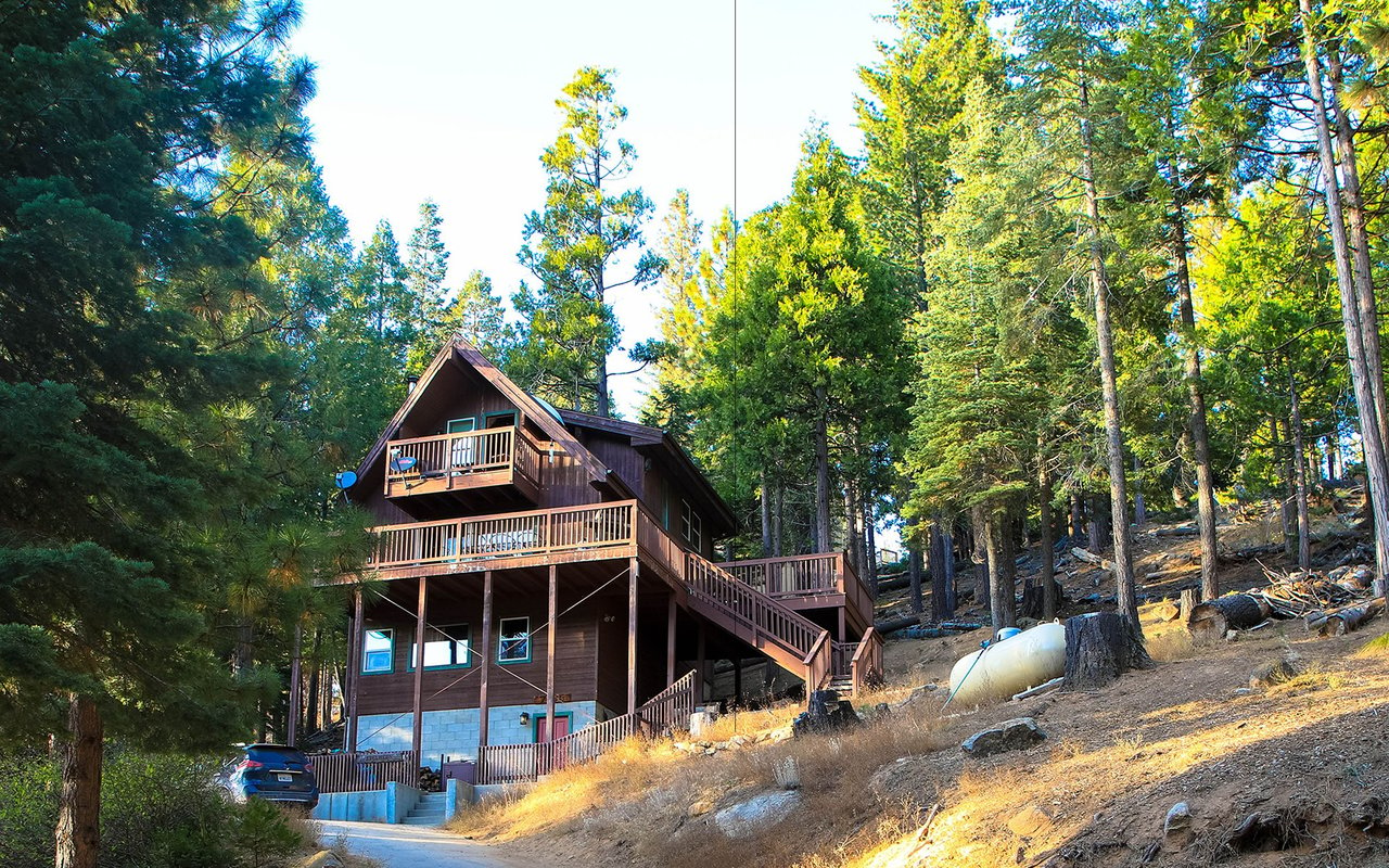
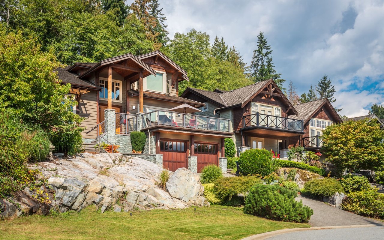
The area offers a diverse mix of housing, including classic Tahoe cabins, ranch-style homes, townhomes, condominiums, and multi-family properties. Many homes sit on level, pine-covered lots with easy year-round access, a practical advantage during the winter months. The variety of home styles and price points makes the Y Area one of the South Shore's most accessible markets for a wide range of buyers.
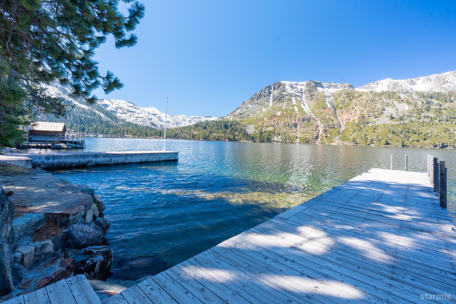
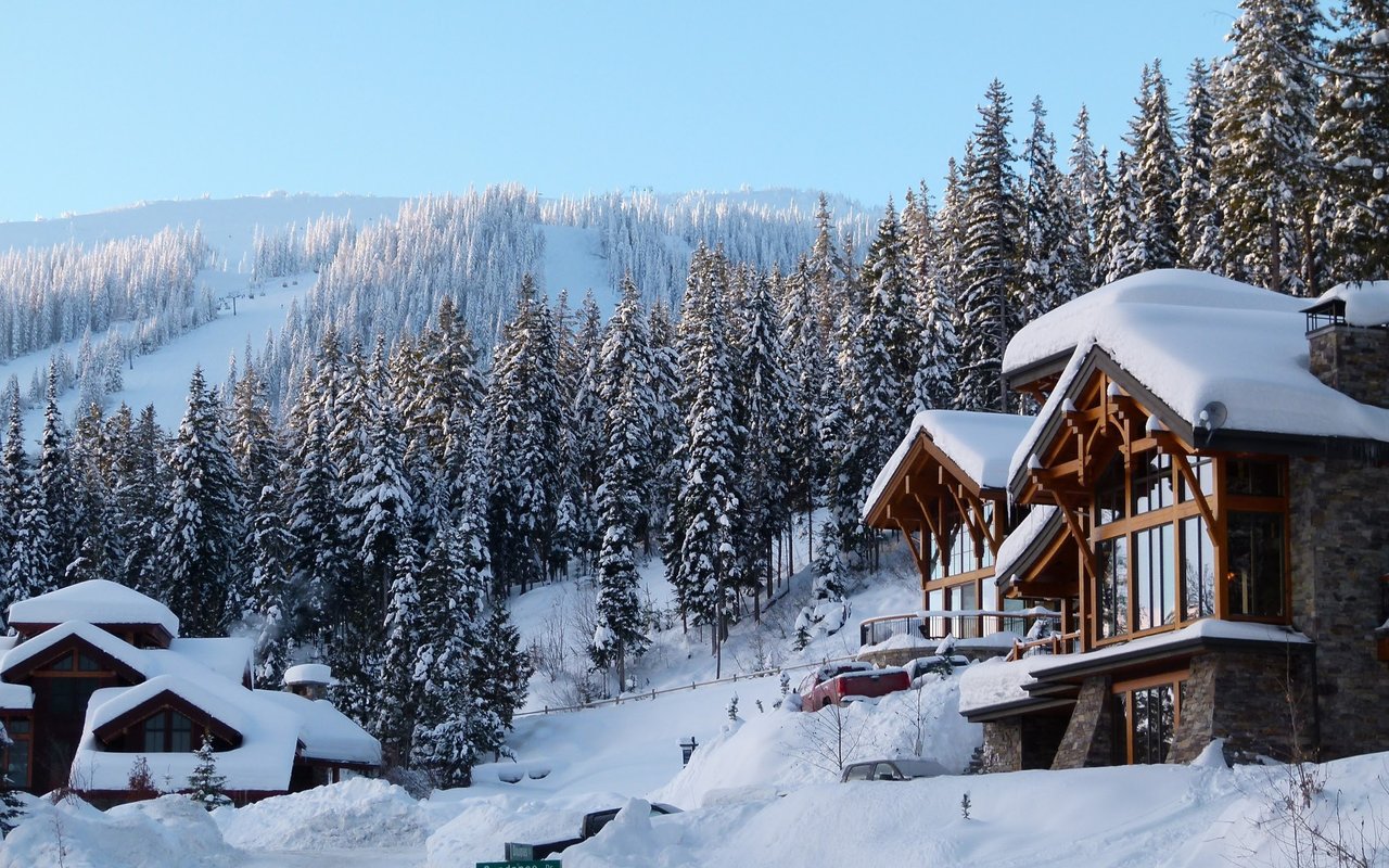
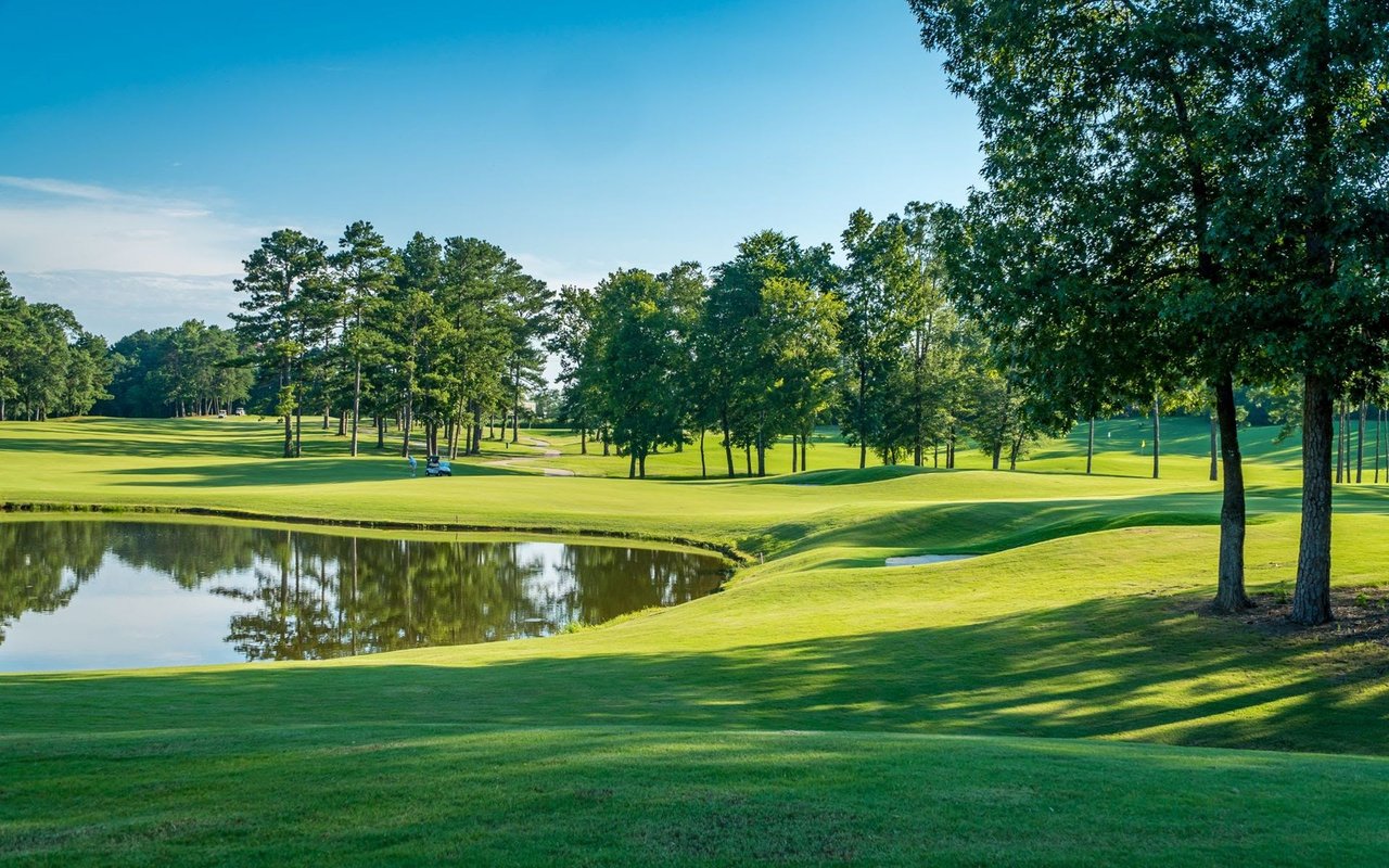
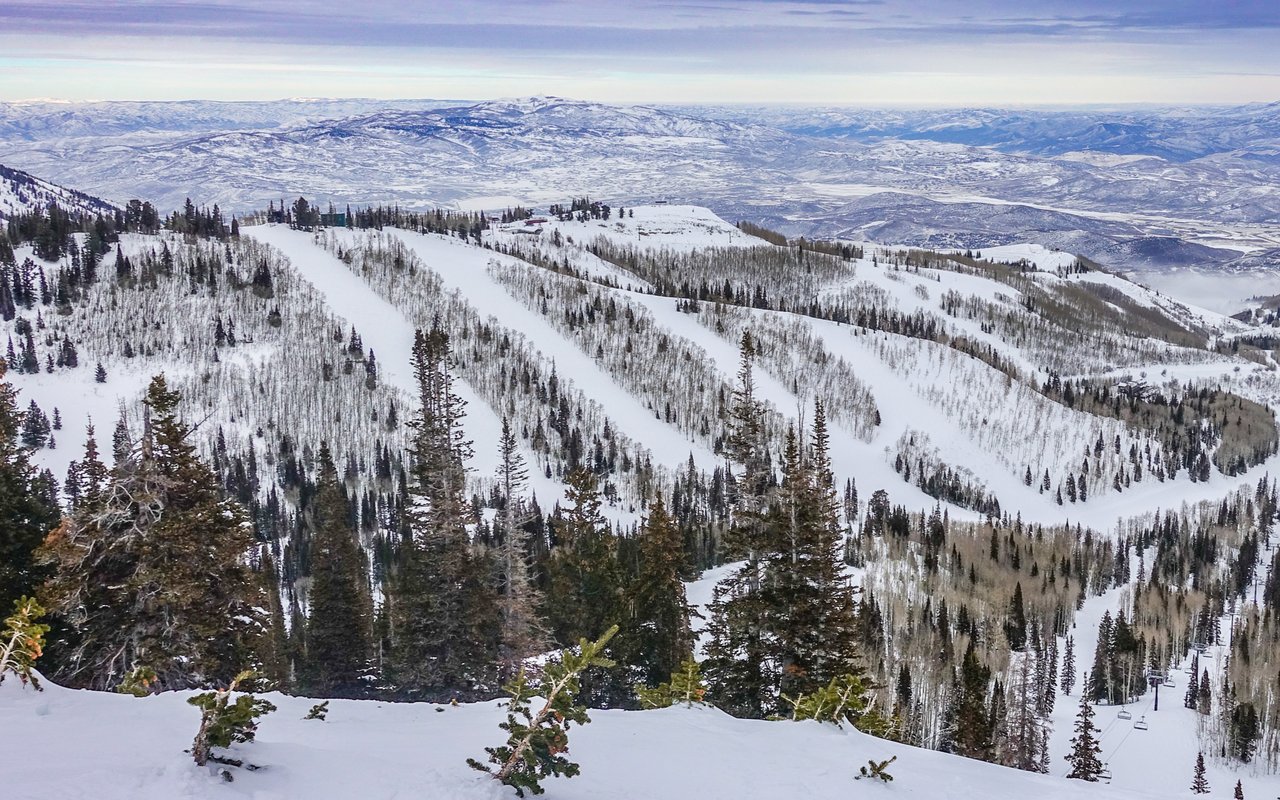
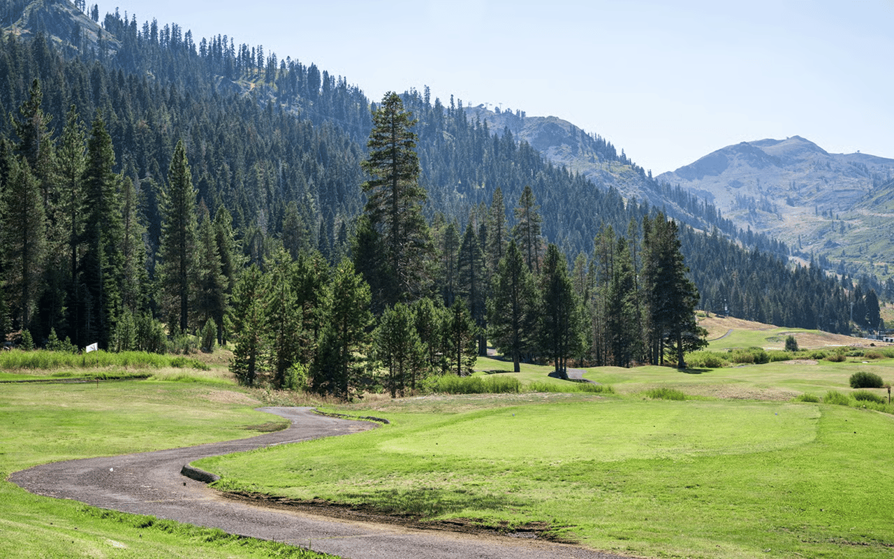
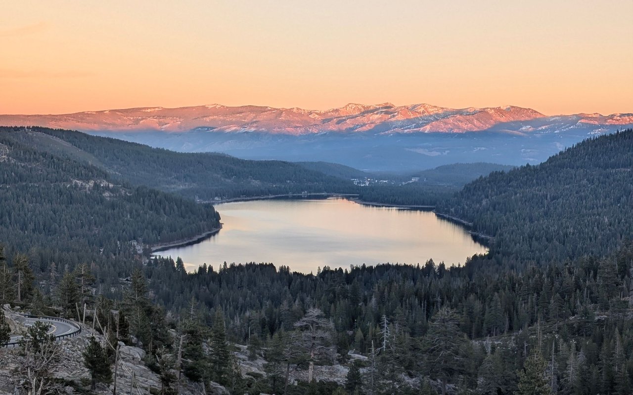
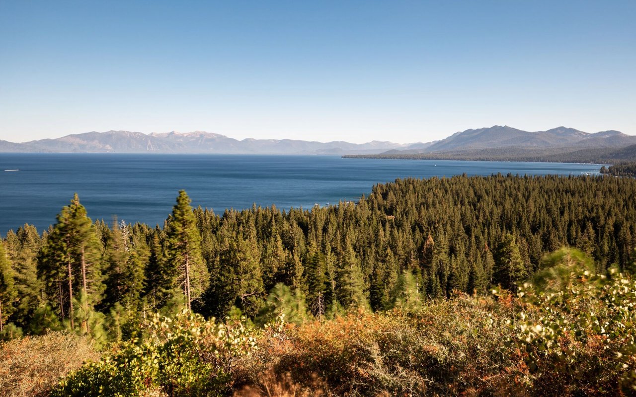
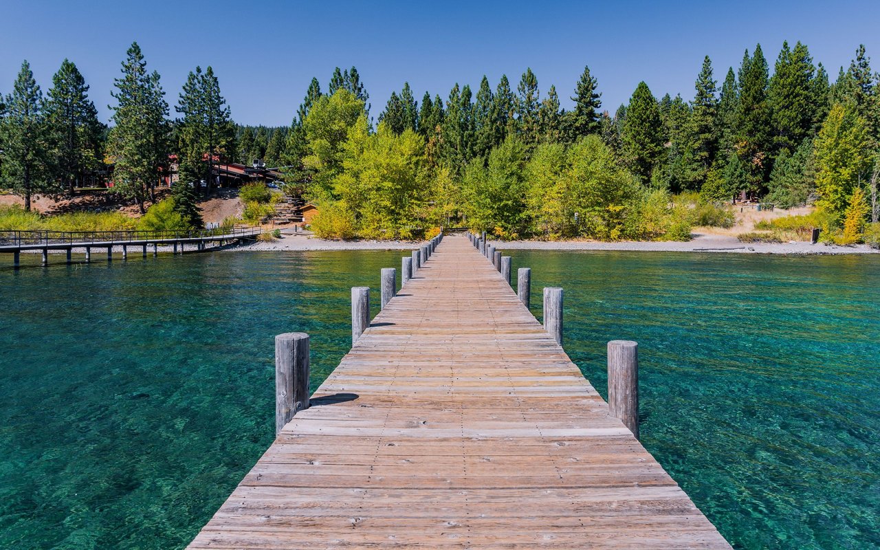
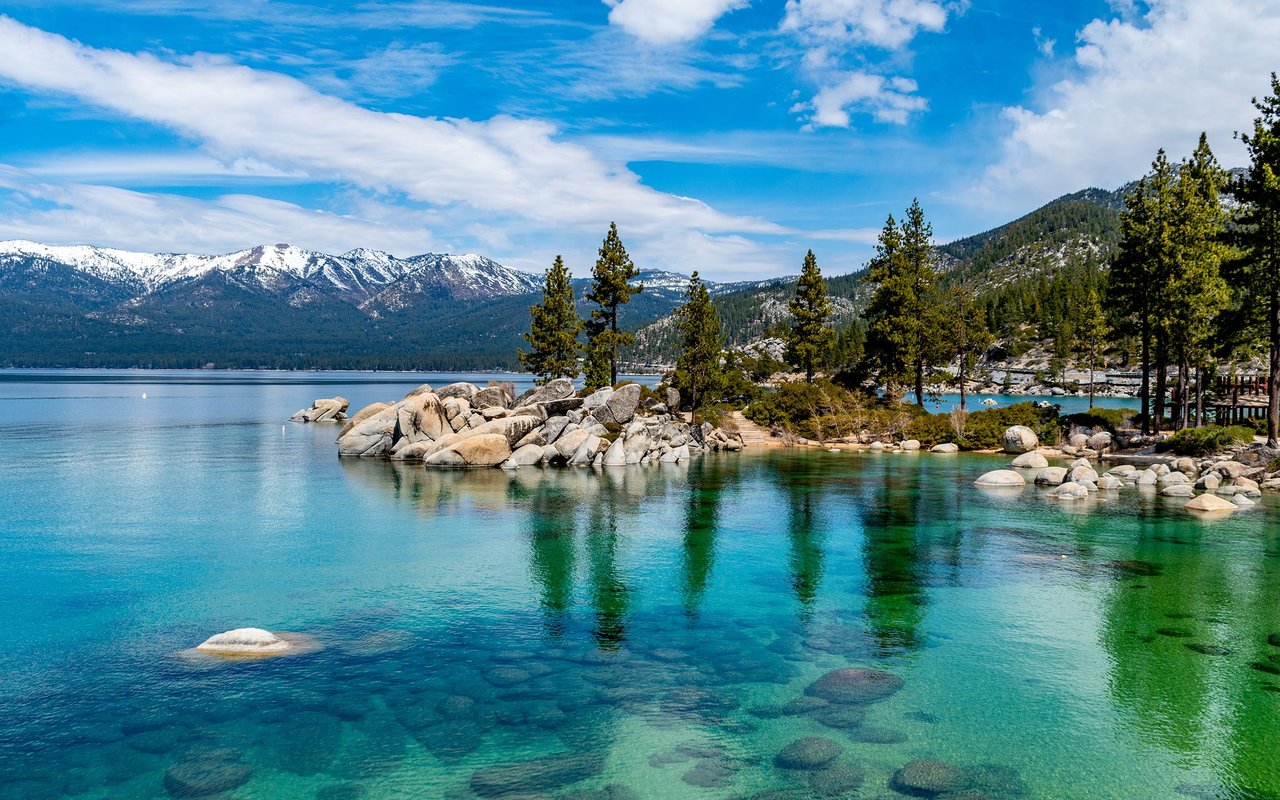
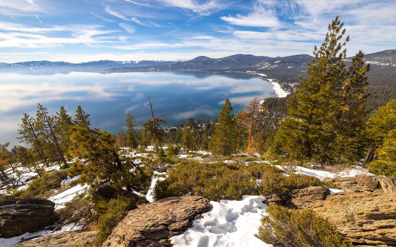
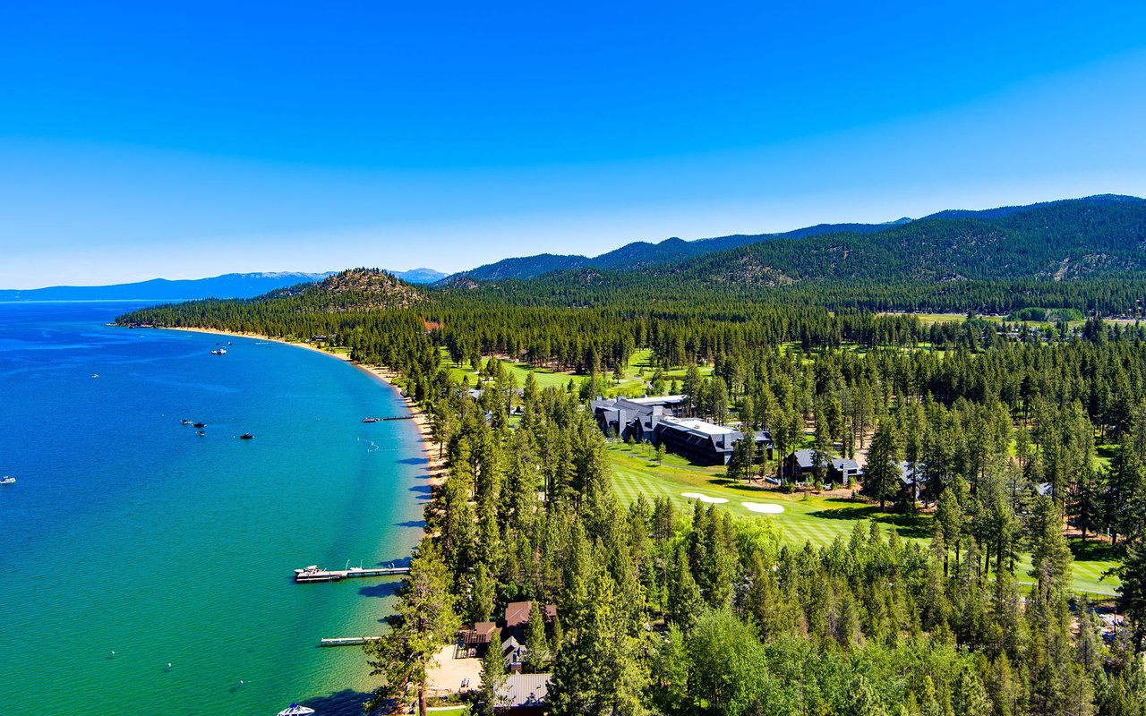
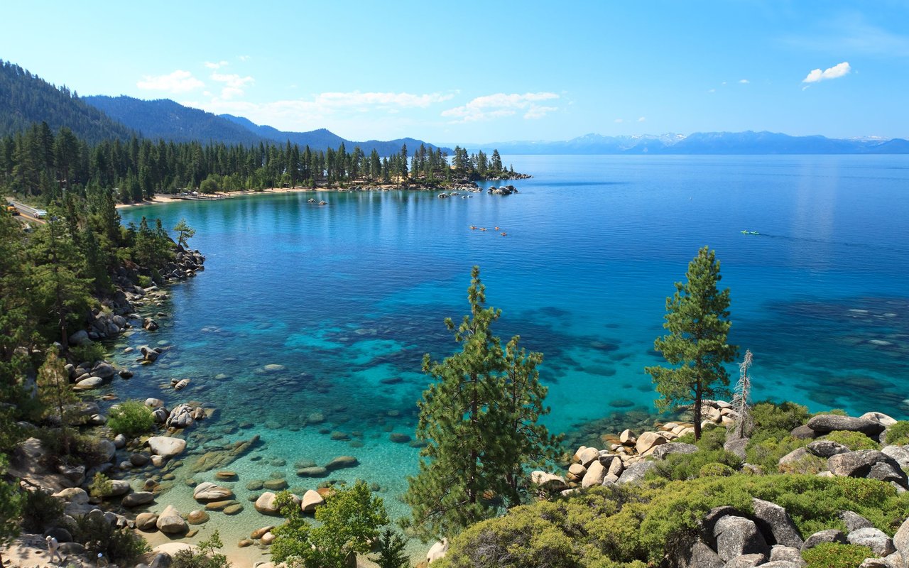
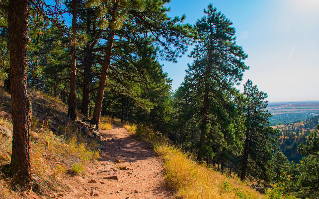
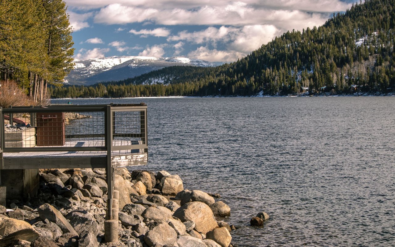
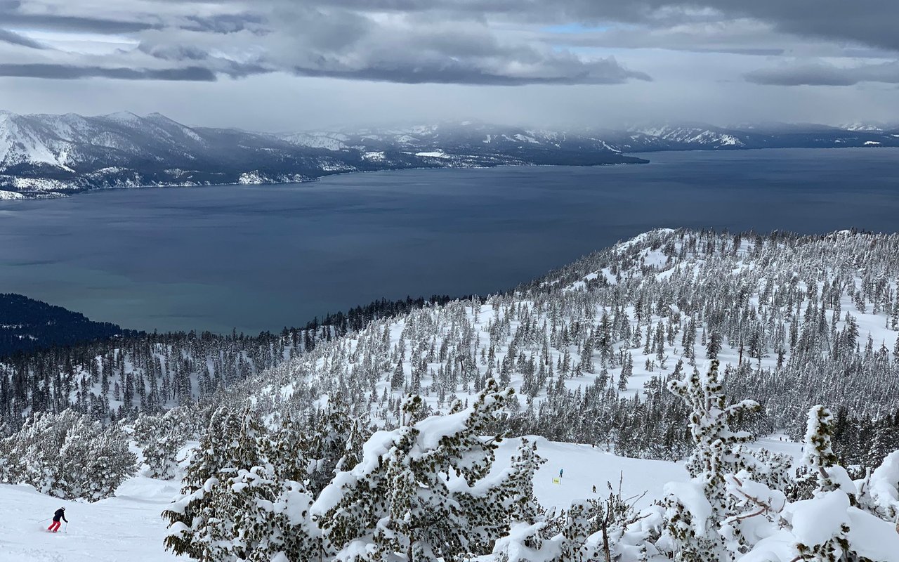
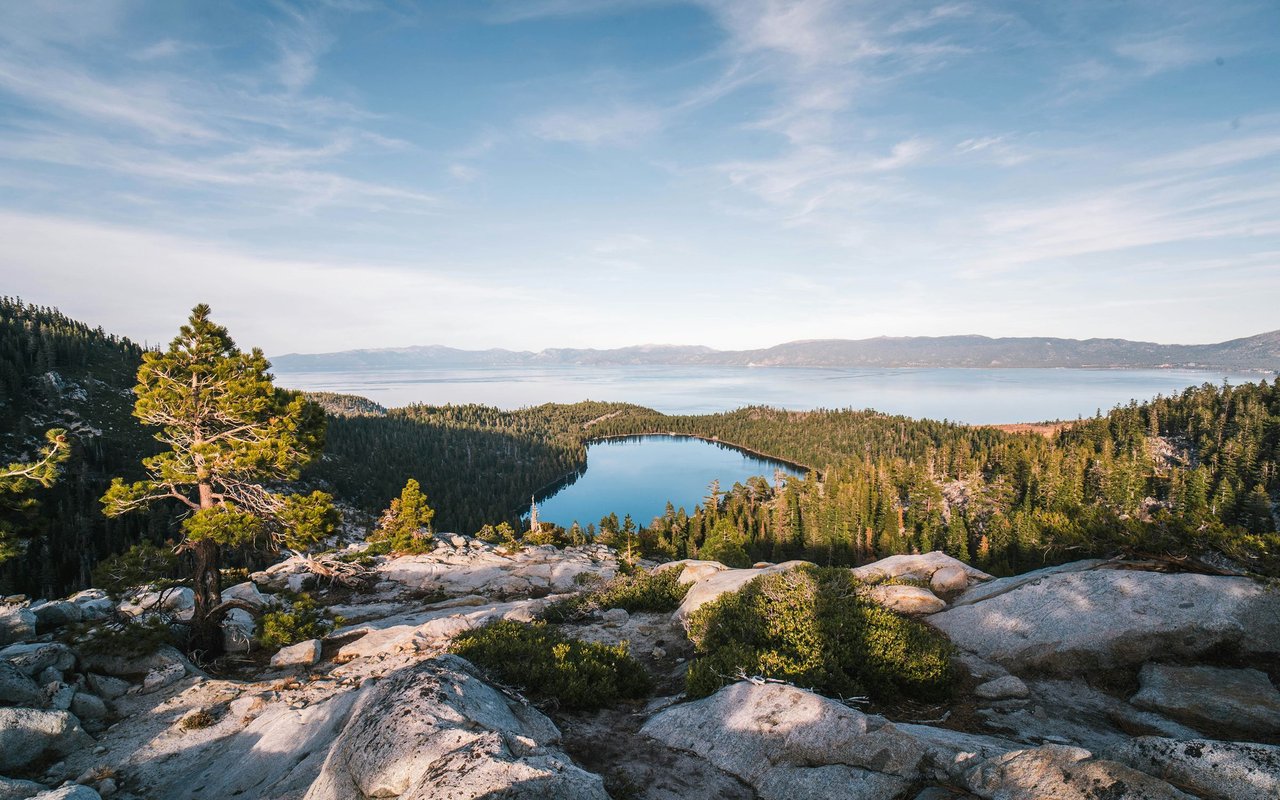
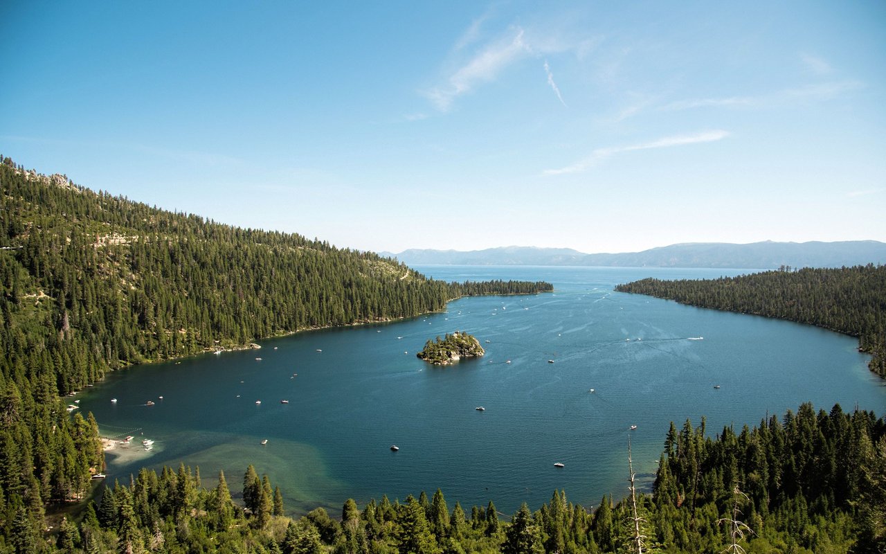
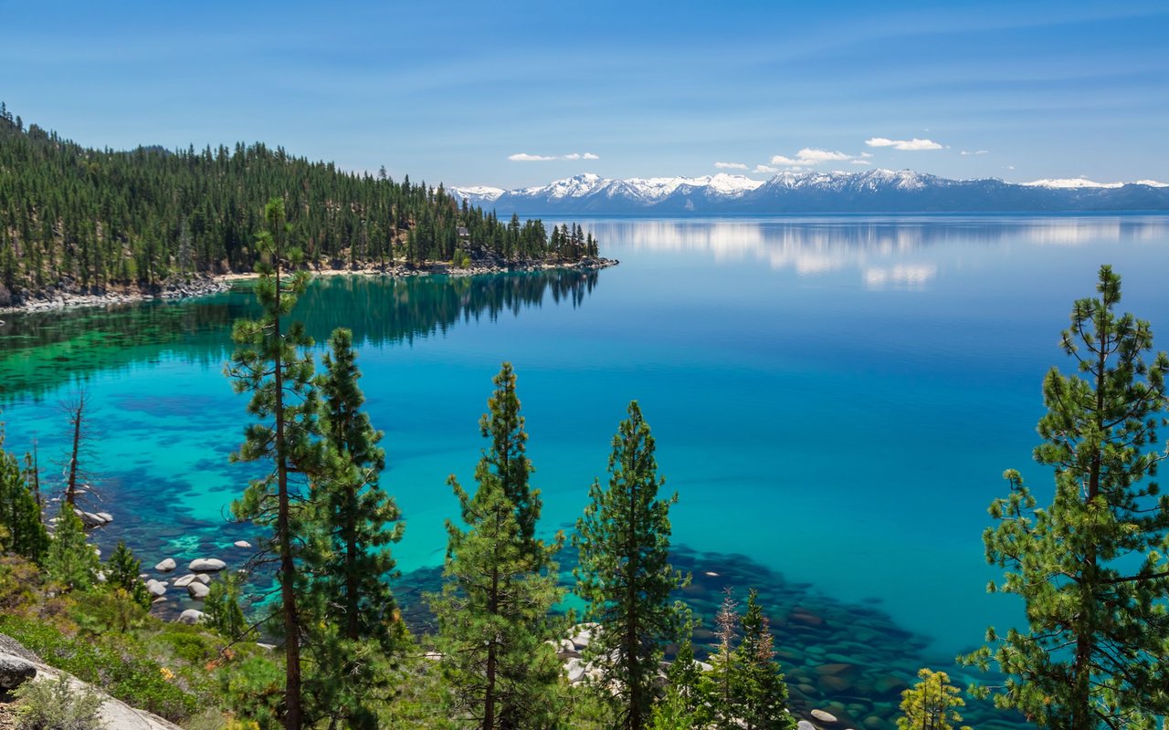
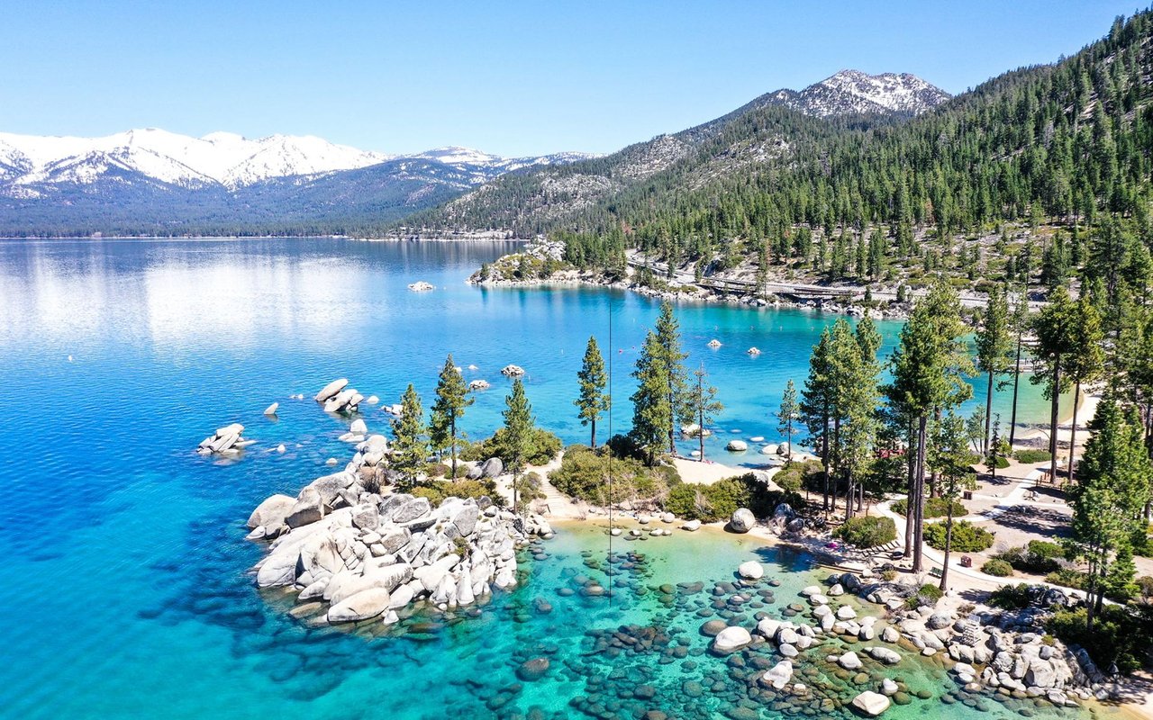
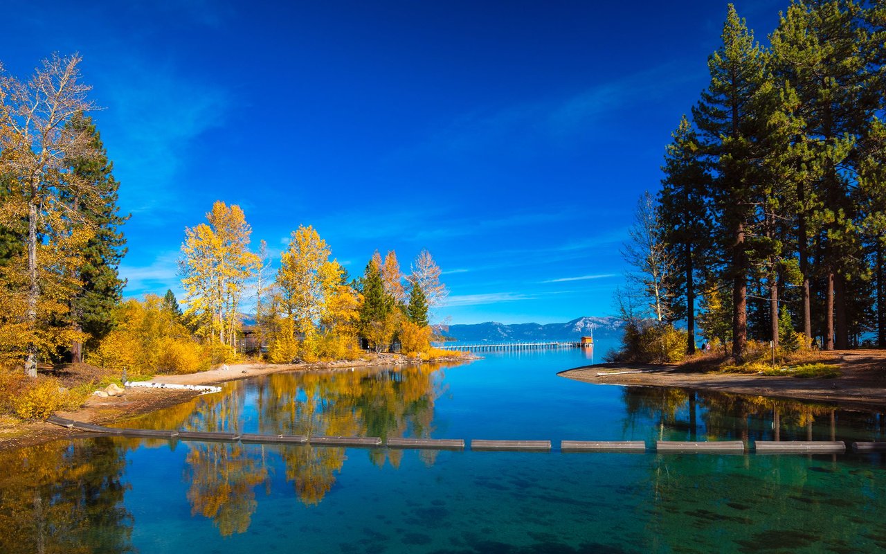
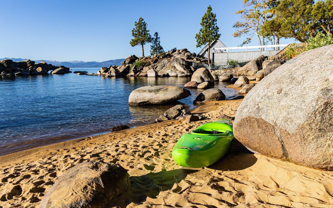
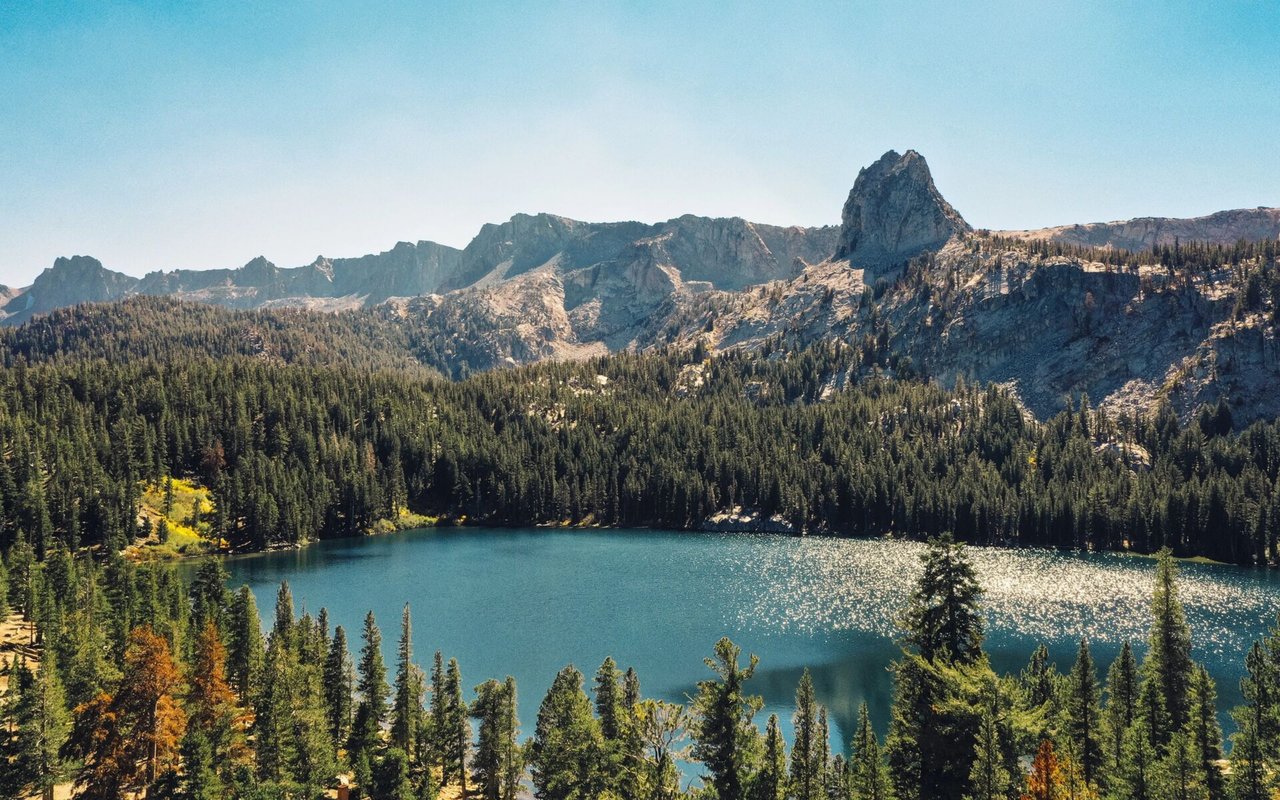
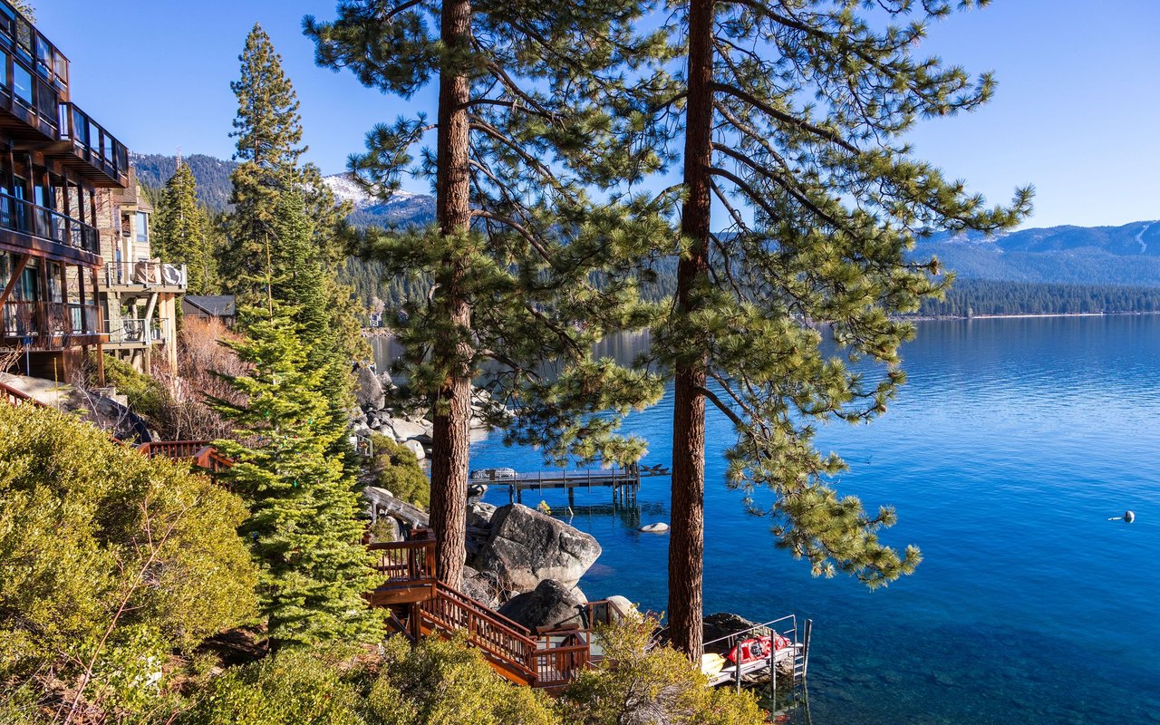
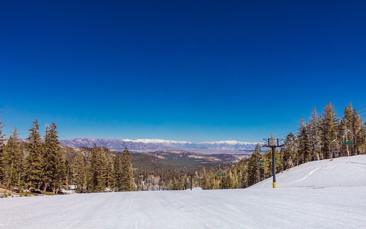
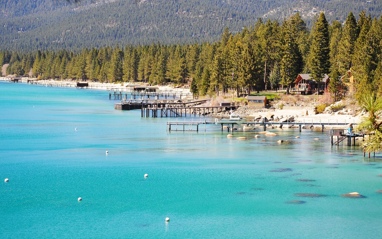
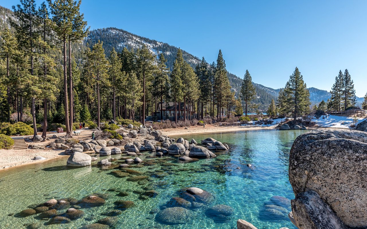
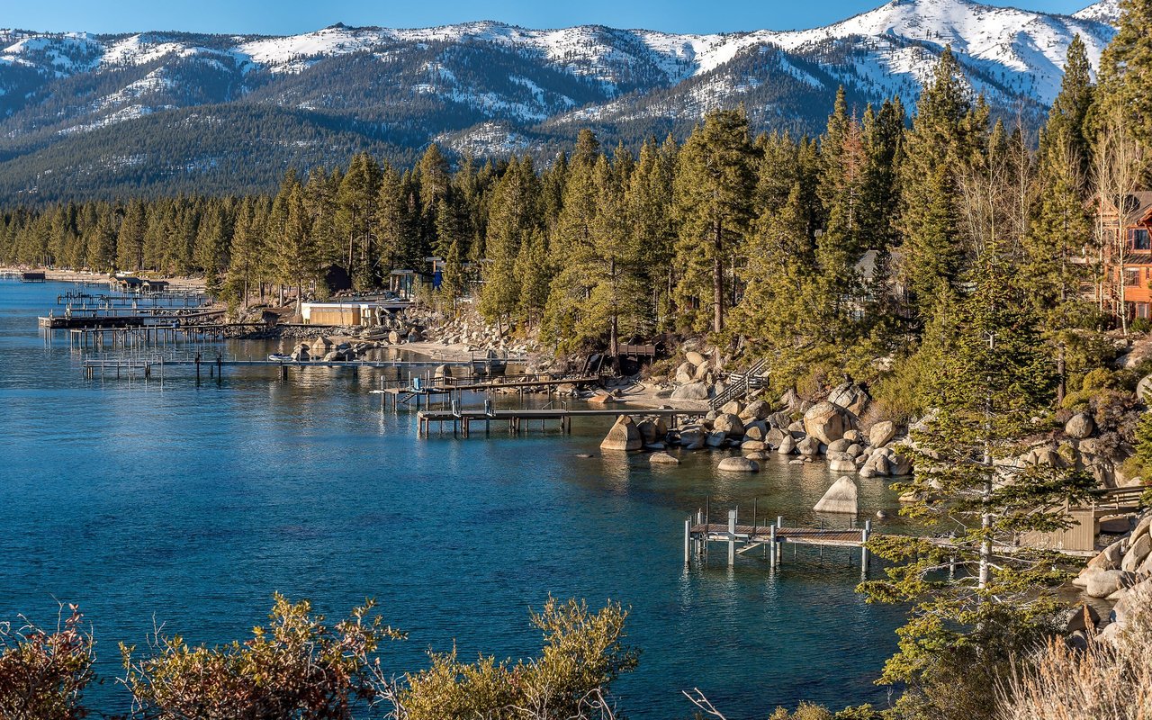
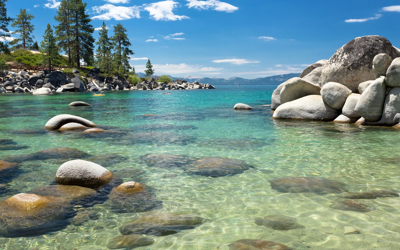
Residents enjoy being just minutes from some of South Lake Tahoe's most popular outdoor destinations. Pope Beach, Baldwin Beach, Kiva Beach, Camp Richardson, Fallen Leaf Lake, and Emerald Bay are all easily reached via Highway 89, while Heavenly Mountain Resort, Sierra-at-Tahoe, and Kirkwood are convenient options for winter recreation. Everyday errands, local parks, bike paths, and community amenities are all close at hand, making the Y Area an ideal choice for buyers seeking a central location with easy access to everything Lake Tahoe has to offer.
29,527 people live in Y Area, where the median age is 40.3 and the average individual income is $54,839. Data provided by the U.S. Census Bureau.
Total Population
Median Age
Population Density Population Density This is the number of people per square mile in a neighborhood.
Average individual Income
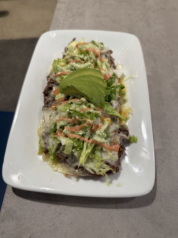
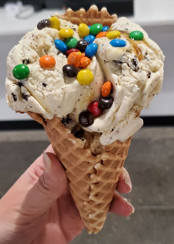
There's plenty to do around Y Area, including shopping, dining, nightlife, parks, and more. Data provided by Walk Score and Yelp.
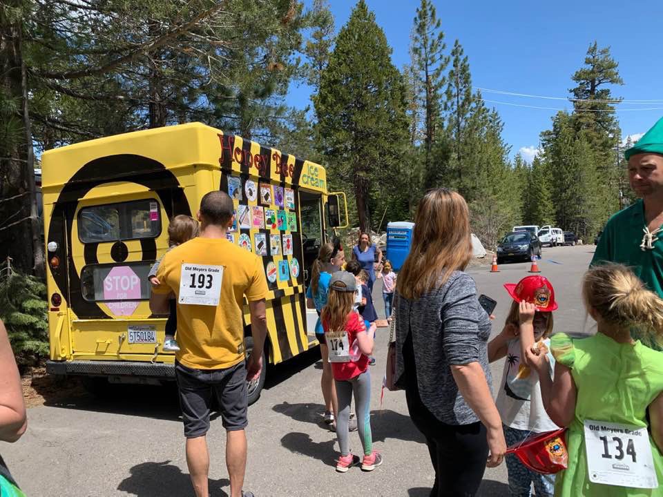
Explore popular things to do in the area, including Fallen Leaf Store, Honeybee Ice Cream Truck, and Barkley Co.
| Name | Category | Distance | Reviews |
Ratings by
Yelp
|
|---|---|---|---|---|
| Dining | 1.36 miles | 15 reviews | 3.3/5 stars | |
| Dining | 1.66 miles | 0 reviews | 0/5 stars | |
| Dining | 2.06 miles | 0 reviews | 0/5 stars | |
| Dining | 2.44 miles | 2 reviews | 4/5 stars | |
| Dining | 2.44 miles | 1 review | 5/5 stars | |
| Dining | 2.44 miles | 7 reviews | 4.6/5 stars | |
| Dining | 2.44 miles | 6 reviews | 4.2/5 stars | |
| Dining | 2.44 miles | 11 reviews | 4.8/5 stars | |
| Dining | 2.45 miles | 49 reviews | 3.9/5 stars | |
| Dining | 2.52 miles | 0 reviews | 0/5 stars | |
| Dining · $$ | 2.56 miles | 146 reviews | 3.4/5 stars | |
| Active | 0.88 miles | 108 reviews | 4.5/5 stars | |
| Active | 0.88 miles | 3 reviews | 5/5 stars | |
| Active | 1.01 miles | 1 review | 5/5 stars | |
| Active | 1.2 miles | 1 review | 4/5 stars | |
| Active | 1.93 miles | 0 reviews | 0/5 stars | |
| Active | 2.05 miles | 1 review | 5/5 stars | |
| Active | 2.1 miles | 0 reviews | 0/5 stars | |
| Active | 2.14 miles | 2 reviews | 4.5/5 stars | |
| Active | 2.24 miles | 6 reviews | 5/5 stars | |
| Active | 2.34 miles | 121 reviews | 3.4/5 stars | |
| Active | 2.54 miles | 0 reviews | 0/5 stars | |
| Active | 2.54 miles | 1 review | 5/5 stars | |
| Beauty | 2.52 miles | 4 reviews | 4.8/5 stars | |
|
|
||||
|
|
||||
|
|
||||
|
|
||||
|
|
||||
|
|
Y Area has 12,678 households, with an average household size of 2.29. Data provided by the U.S. Census Bureau. Here’s what the people living in Y Area do for work — and how long it takes them to get there. Data provided by the U.S. Census Bureau. 29,527 people call Y Area home. The population density is 181 and the largest age group is Data provided by the U.S. Census Bureau.
Total Population
Population Density Population Density This is the number of people per square mile in a neighborhood.
Median Age
Men vs Women
Population by Age Group
0-9 Years
10-17 Years
18-24 Years
25-64 Years
65-74 Years
75+ Years
Education Level
Total Households
Average Household Size
Average individual Income
Households with Children
With Children:
Without Children:
Marital Status
Blue vs White Collar Workers
Blue Collar:
White Collar:
Realize your real estate dreams with trusted local experts. As your local real estate specialists, we are here to tailor solutions to your individual needs. Connecting with us is more than just transactional—we care deeply about the long-term life cycle of your investment and believe in building a symbiotic relationship. Reach out today, we are ready to assist!